-40%
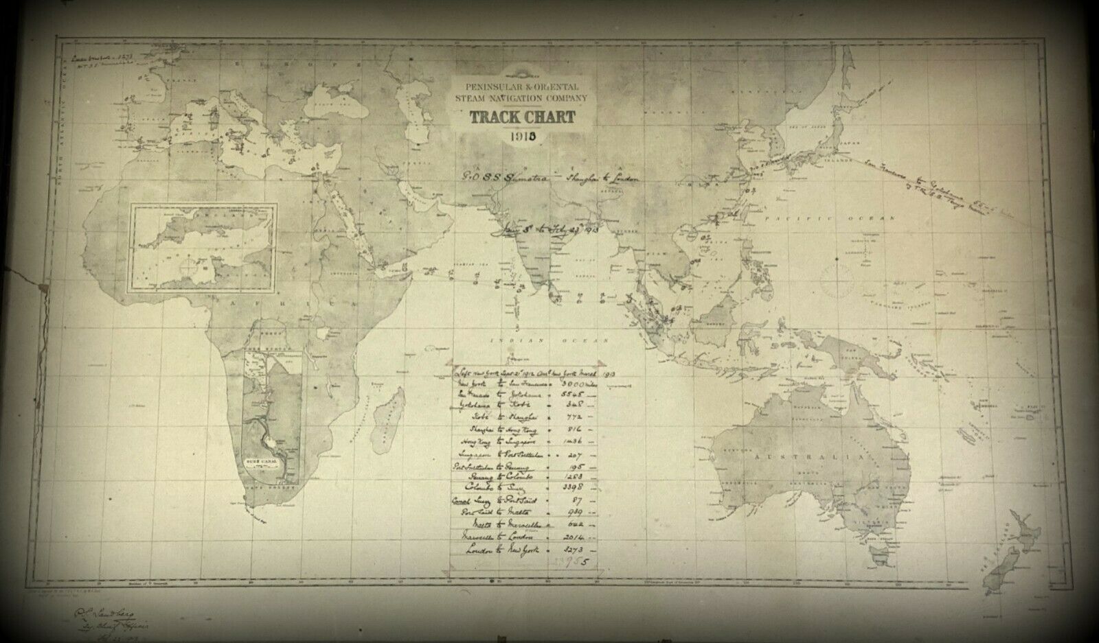
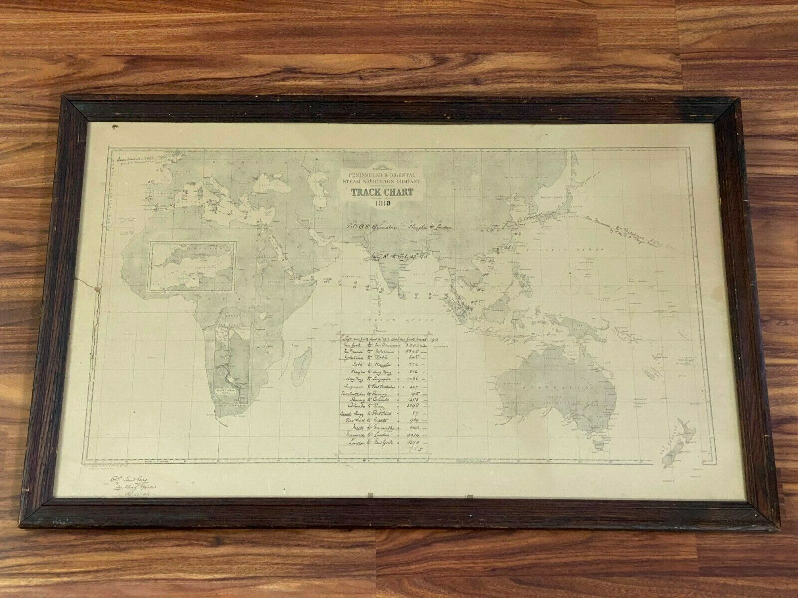
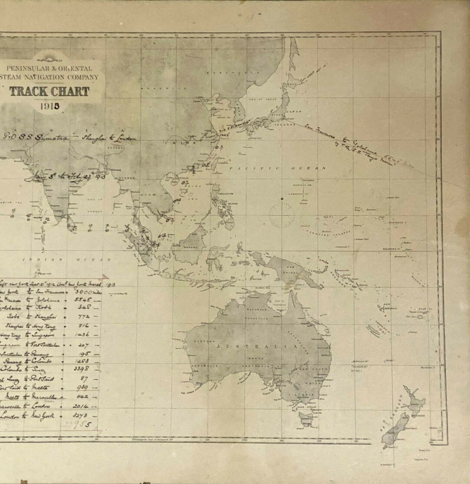
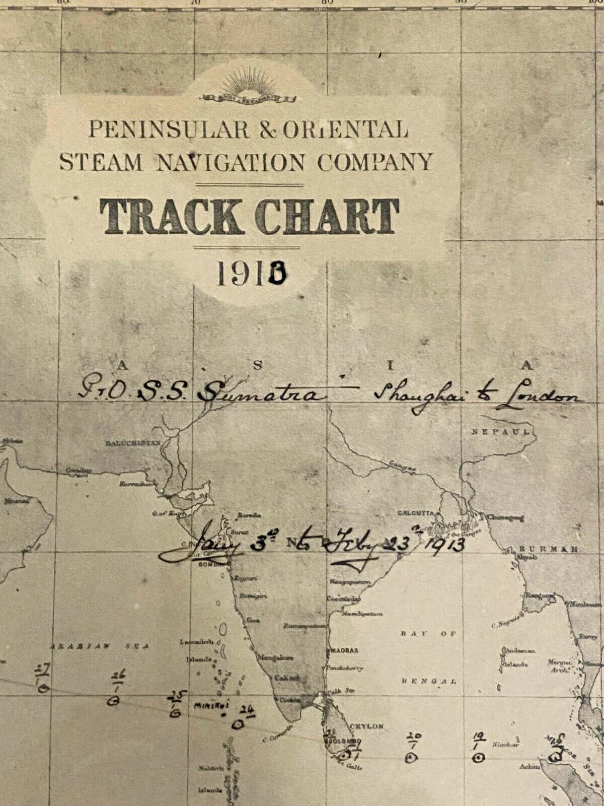
Orig.1913 P&O Peninsular and Oriental Steam Navigation Company Track Chart Map
$ 1317.36
- Description
- Size Guide
Description
Peninsular & Oriental Steam Navigation Company.~ Track Chart Map ~
Frame Size Approx: 35-1/2 x 22-1/2 in.
Image Size Approx: 32-1/2 x 19-5/8 in.
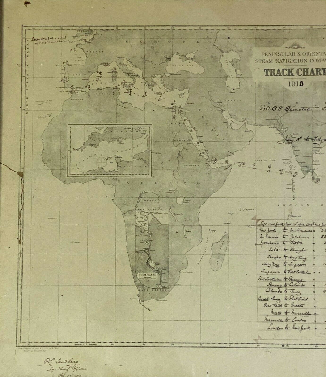
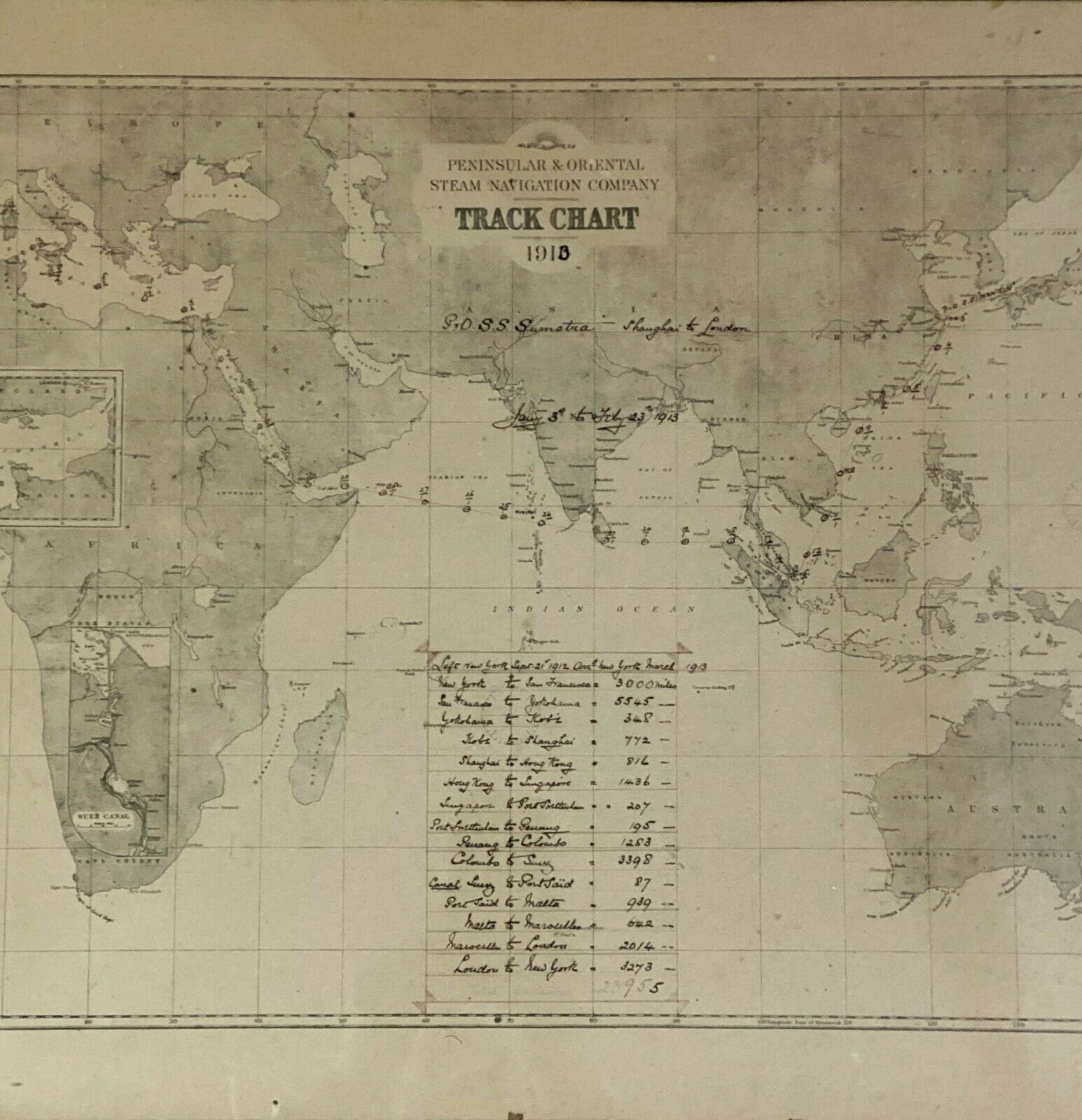
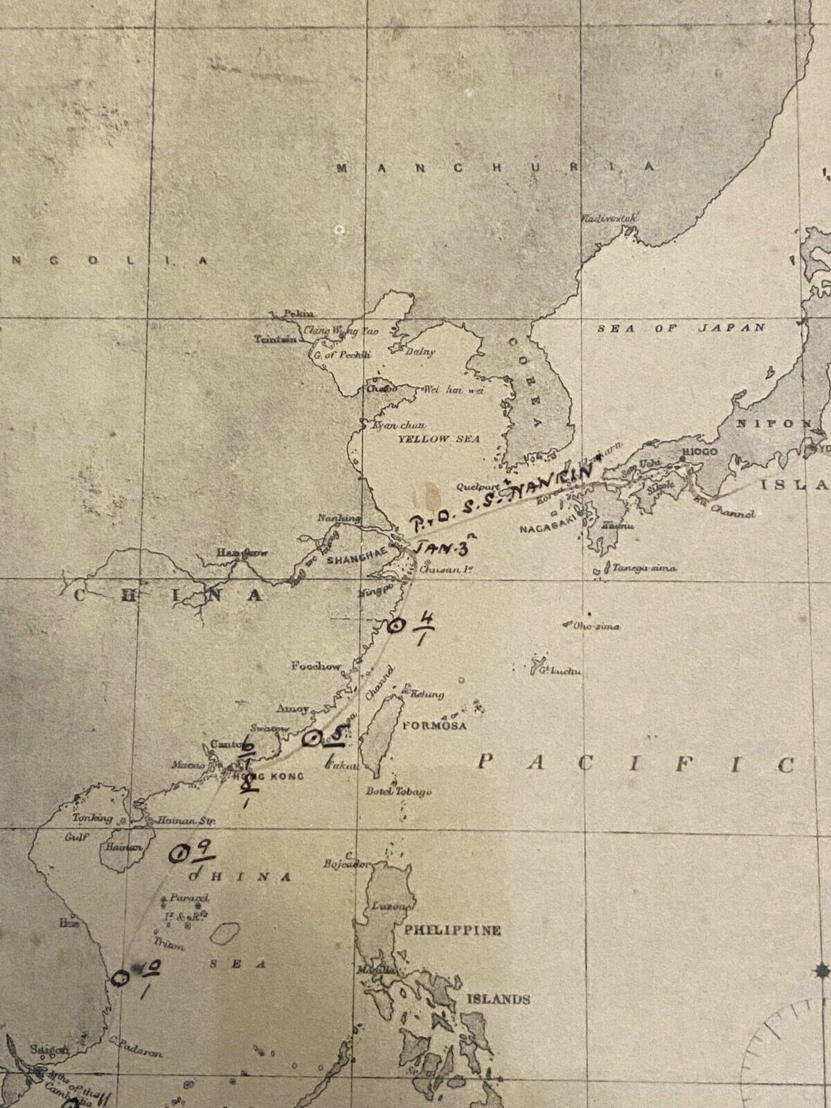
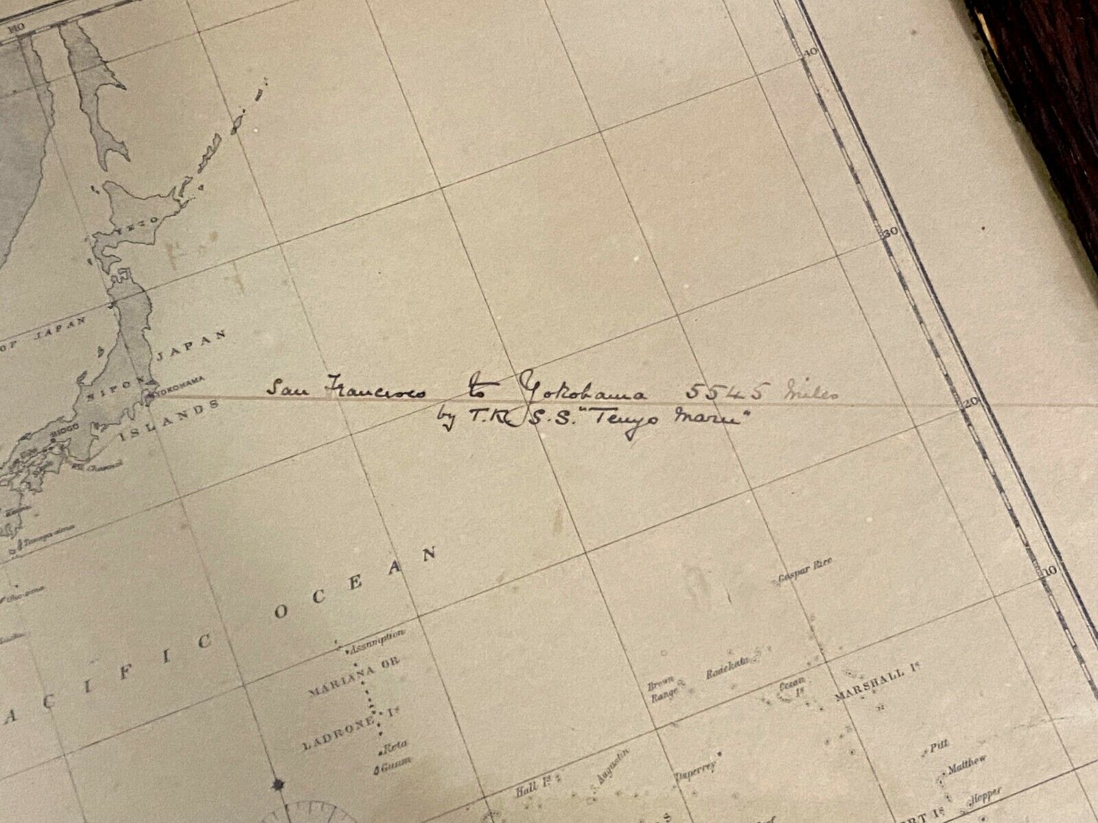
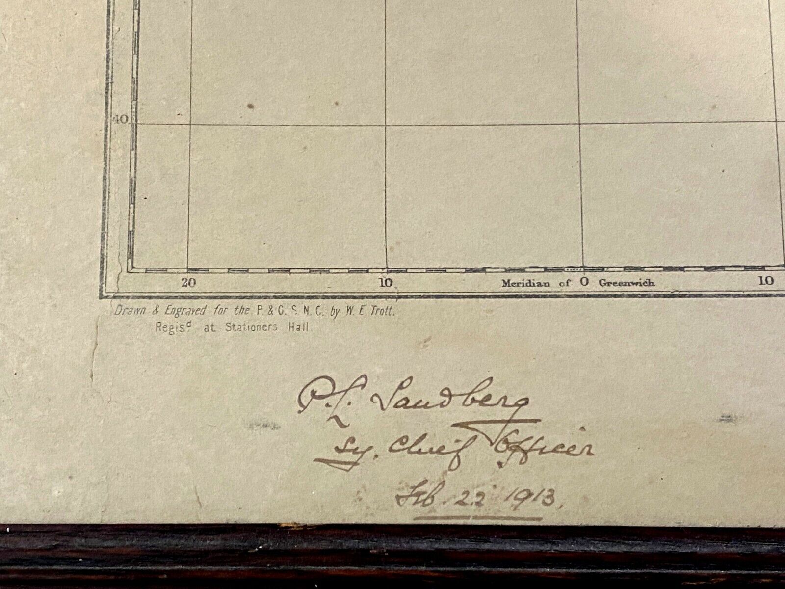
You are bidding on a RARE original antique (circa, 1913) P&O track chart map. The map with numerous hand annotations in pen and brown ink and signed & dated by: '
P. L. Sandberg
Sy. Chief Officer
Feb. 22nd 1913
' at lower left, appears to chart a six month voyage aboard a number of different vessels (
A.T. S.S. Minnehaha, P&O S.S. Sumatra, P&O S.S. Nankin, T.K. S.S. Tenyo Maru
). beginning in
New York
on
Sept. 21th 1912
and arriving back in
New York, March 1913
.
The chart further appears to be housed within a period (circa, first quarter of the 20th C.) wood frame with original glass as seen in photos.
Condition Report:
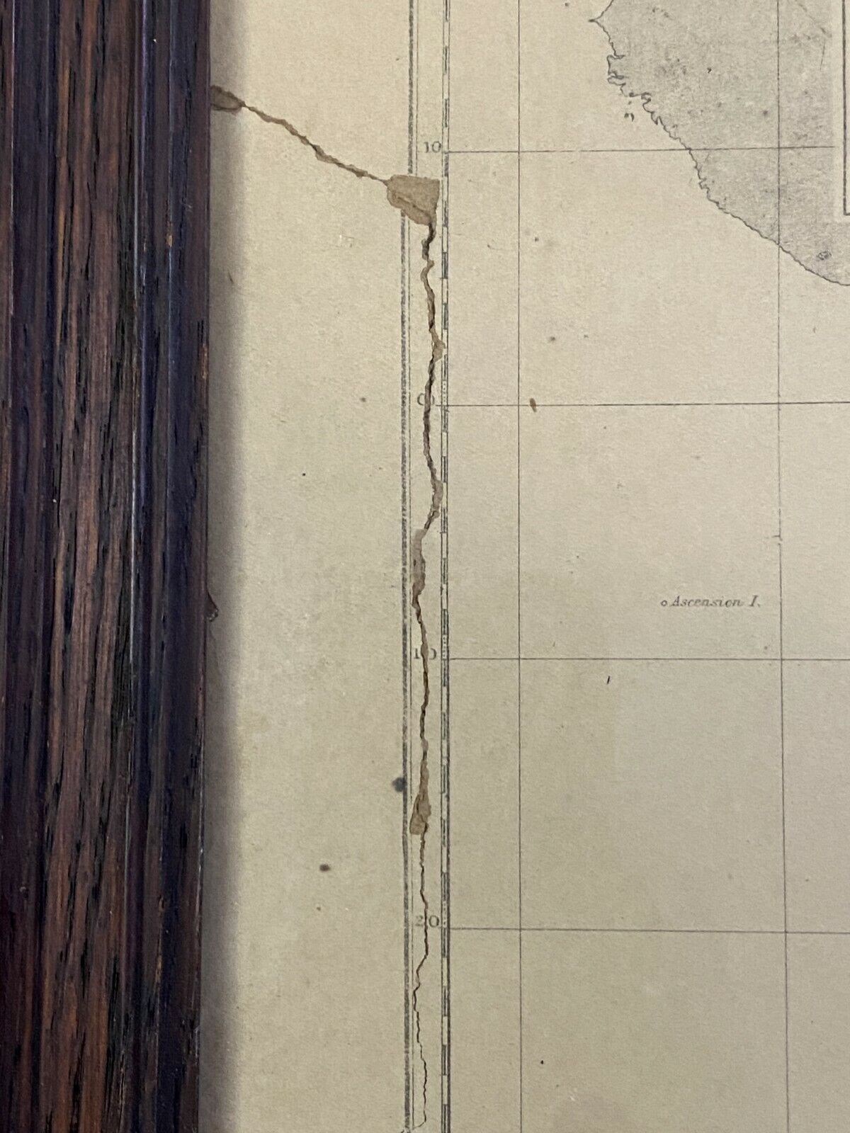
some surface wear, age toning, staining, damage at left middle and top left as
shown, dirty/dusty from years of storage, needs cleaning. More photos on request!
PLEASE NOTE:
chart was originally dated 1910, but was altered by S.Y. Chief Officer Sandberg to read, 1913. S.Y. Chief Officer P. L. Sandberg can
possibly
be: *Paul Louis Sandberg (England, 1878 - 1942)* but to date, we have not been able to 100% confirm this attribution*. Chart was also re-backed with modern framing materials sometime within the last couple of decades.
